Ground Truth 2.0 Land Use Maps validation campaign
The Ground Truth 2.0 project is launching a citizen science collaborative campaign to help in the validation of several land use mapping initiatives.
More than ever before, planners and policy makers need tools to anticipate and assess the impact of their decisions on the areas that they have to manage. Land-use maps are one important input data for the decision support tools and many land-use products exist, but they are hard and expensive to produce based on remote sensing image interpretation. Experimental web-services are emerging that are based on deriving LULC from OpenStreetMap vector data that can be more robust in areas where either remote sensing data is scarce or acquisition is hampered by frequent cloud cover.
In order to test and compare the precision and accuracy of all those different approaches, the Ground Truth 2.0 project is promoting a pilot validation campaign in a given area, the Metropolitan Area of Barcelona (Spain) where different land use maps from different sources and origins are available. The idea is to document the accuracy for each of the maps and to compare citizen-based effort with expert work in terms of accuracy, validity and completeness.
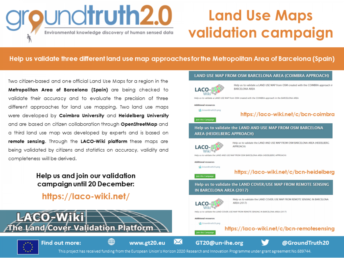
For this reason, two citizen-based and one official Land Use Maps for that region are being checked to validate their accuracy and to evaluate the precision of three different approaches for land use mapping. Two maps, developed by Coimbra University and Heidelberg University, are based on approaches using OpenStreetMap and created with citizen collaboration and another Land Use Map was created by experts and based on remote sensing. The LACO-Wiki platform will be used for their validation.
The campaign will be open until 20th December 2019 and is looking for volunteer citizens to contribute in an easy validation process. The three datasets can be accessed through the following links: https://laco-wiki.net/c/bcn-coimbra – https://laco-wiki.net/c/bcn-heidelberg – https://laco-wiki.net/c/bcn-remotesensing. Login to the LACO-Wiki platform can be done using a GEO-Wiki, Facebook or Google Account. The validation process takes less than a minute for each point and is easy to perform by visual inspection of a high resolution image.
For more information please visit www.gt20.eu.