Citizen science for mapping the world
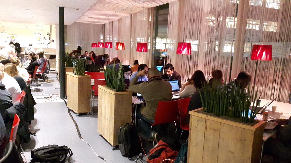
On 13 February 2017, UNESCO-IHE organised a Mapping Party ("Mapathon") for the Mara River Basin in Kenya. More than 200 volunteers enthusiastically mapped an area that is currently suffering from famine due to persisting drought.
The Mapathon was held together with participants from Wageningen University & Research, the Faculty of Geo-Information Science and Earth Observation (ITC) of the University of Twente, and Upande. Good maps are essential for places that are suffering from epidemics, conflicts, natural disasters, poverty or environmental problems. They help governments to make better (policy) decisions and aid organizations to offer better assistance with the distribution of relief supplies. Data of vulnerable remote areas are often not available in Google Maps.
The Mara is such a vulnerable place. Currently, the area suffers from droughts and the local Masai communities have difficulties in feeding their families. During the Mapping Party, volunteers mapped roads and buildings in the Mara River Basin, based on satellite images, on OpenStreetMap (http://www.openstreetmap.org), a detailed, open-source map of the world.
The Mara in Kenya is one of the 6 demonstration cases in the Ground Truth 2.0 project. The road data that have been mapped during the Mapathon will also be directly used in this demo case and saves project resources for mapping the existing road network.
More information
Missing Maps events are an initiative of the Red Cross, MSF and other NGOs aiming to map the most vulnerable places in the developing world. They are part of the Humatiarian OpenStreetMap Team that has a nice platform for mapping projects.